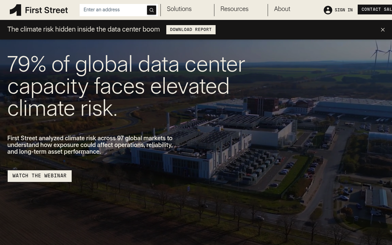
First Street
First Street is the physical climate risk data and analytics company behind the Risk Factor property reports, acquired by MSCI on 2026-08-03. It models flood, wildfire, wind, heat, cold, drought and air quality at property level anywhere on Earth using peer-reviewed, physics-based methods rather than historical claims data, and exposes that model through three APIs: a global Climate Risk GraphQL API, an Enterprise GraphQL API for portfolio-level exposure, scenario analysis and adaptation cost-benefit, and a Raster Map tile API for visualising perils on a map. It also runs a hosted MCP server so agents can query property climate risk directly. Access to every surface, and to individual fields within the GraphQL schemas, is granted by contract.
First Street publishes 7 API contracts indexed on the APIs.io network, including Enterprise API, Maps API, Graph QL API, and 4 more. Tagged areas include Climate, Risk Management, Environment, Modeling, and Geospatial.
First Street’s developer surface includes authentication, documentation, changelog, sandbox, API reference, getting-started guide, support, and 31 more developer resources.
Kin Score
 Kin Score
How this is scored →
Kin Score
How this is scored →scored 2026-10-17 · rubric v0.24.0
Markets this provider is in provisional
The Kin Score Market layer reads a provider inside its market: its position, and how deep its integrations go. Depth is only comparable within a position. Provisional and unweighted: not part of the Kin Score or agent readiness.
| Market | Position | Depth | Registered MCP server | Declares compatibility |
|---|---|---|---|---|
| Weather and Climate Data | undeclared | - | - | - |
Registered MCP server and declares compatibility are report only — not weighted. Undeclared means we found nothing we can read, so there is no number: we never infer integrations.
Standards implemented 1
Standards this provider implements or carries. De facto ones are profiled and measured by the API Commons; formal ones come from the standards directory and are linked by the provider's own tags. The evidence column says how each claim was established — not that it was made.
APIs 7
Individual APIs this provider publishes, each with its own machine-readable definition.
First Street Climate Risk API
The Climate Risk API provides physical climate risk data globally, delivering property-level insights into hazards including flood, wildfire, heat, wind, and air quality.
First Street Enterprise API
The Enterprise API offers aggregated climate risk views for portfolios, enabling enterprise users to assess risk across multiple properties and geographic regions.
First Street Raster Map API
The Raster Map API delivers visual raster layers of climate perils for mapping and visualization use cases.
First Street Enterprise API
The Enterprise API from First Street — 1 operation(s) for enterprise.
First Street Maps API
The Maps API from First Street — 1 operation(s) for maps.
First Street MCP Server
Hosted, remote Model Context Protocol server exposing the Climate Risk API to agents over Streamable HTTP. Ten tools with real JSON Schema inputs — property lookup by address, c...
First Street Graph QL API
The Graph QL API from First Street — 1 operation(s) for graph ql.
Scroll for all 7
Open Collections 5
Open, tool-agnostic API collections (OpenAPI-derived and Bruno).
API Collection
OPEN COLLECTIONFirst Street Enterprise API
OPEN COLLECTIONFirst Street Enterprise Graphql API
OPEN COLLECTIONFirst Street Enterprise Maps API
OPEN COLLECTIONFirst Street API
OPEN COLLECTIONMCP Servers 1
Model Context Protocol servers that expose these APIs to AI agents.
First Street MCP Server
First Street publishes a hosted, remote MCP server that exposes the Climate Risk API (property-level physical climate risk: flood, wildfire, wind, heat, cold, drought) to agents...
MCP SERVERPricing Plans 1
Published pricing tiers and plan structures.
Rate Limits 1
Documented rate limits and quota policies.
First Street Rate Limits
RATE LIMITSFinOps 1
Cost, billing, and metering signals for API financial operations.
First Street Finops
FINOPSOpenAPI Overlays 3
Overlays applied on top of this provider's contracts. Each card says who wrote it: a document the provider publishes, or one API Evangelist derived or generated.
First Street Enterprise Api Overlay
GENERATEDFirst Street Graphql Api Overlay
GENERATEDFirst Street Maps Api Overlay
GENERATEDSecurity Posture 4
Authentication, domain security, vulnerability disclosure, and trust-center signals.
Agentic Access 1
Recommended x-agentic-access execution contracts for AI agents.
Resources
Get Started 4
Portal, sign-up, and the first successful call
Documentation 2
Reference material describing how the API behaves
Agent Surfaces 4
MCP servers, agent skills, and machine-readable catalogs
Design & Contract 5
Pagination, idempotency, versioning, errors, and events
Build 4
SDKs, sample code, and the tooling you integrate with
Access & Security 6
Authentication, authorization, and security posture
Operate 4
Status, limits, changes, and where to get help
Commercial 5
Pricing, plans, and the legal terms of use
Company 3
The organization behind the API
Other 1
Properties that don't map to a standard resource type
Source (apis.yml)
Work with this as data
Every provider here is available over the APIs.io API and to AI agents over MCP.