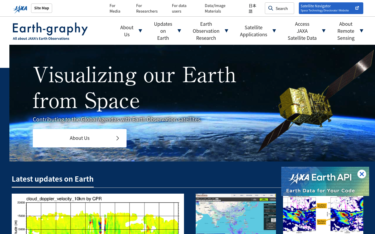
JAXA website screenshot

JAXA

Japan Aerospace Exploration Agency (JAXA) provides public APIs and data services for satellite Earth observation data, including GCOM/ALOS satellite imagery, global precipitation mapping, greenhouse gas monitoring, and scientific mission data from Japanese space programs.

5 APIs 0 Features
SpaceSatelliteEarth ObservationRemote SensingGeospatialClimateEnvironmentPrecipitationGreenhouse GasJapan

APIs

JAXA Earth API

Provides access to over 100 Earth observation satellite datasets from JAXA missions including ALOS, GCOM-C, and GCOM-W. Delivers data in Cloud Optimized GeoTIFF (COG) format thr...

G-Portal Web API

OGC-compliant web services for searching and accessing JAXA Earth observation satellite products from missions including GCOM-W (AMSR2), GCOM-C (SGLI), and GSMaP precipitation p...

GSMaP Global Rainfall Watch API

Provides global satellite-based precipitation estimates through the Global Satellite Mapping of Precipitation (GSMaP) product. Delivers near-real-time and archive rainfall rate ...

ALOS User Interface Gateway 2 (AUIG2)

Online search and ordering system for ALOS and ALOS-2 synthetic aperture radar and optical observation data. Authorized users can search observation archives, review observation...

JAXA Himawari P-Tree Data Service

Provides near-real-time and archive access to Himawari geostationary meteorological satellite imagery and derived products. Data accessible via FTP from the P-Tree (Public ftp/h...

Pricing Plans

Plans

1 plans

PLANS

Rate Limits

Rate Limits

0 limits

RATE LIMITS

FinOps

Finops

FINOPS

Resources

🌐
Portal
Portal
👥
GitHub
GitHub
📜
PrivacyPolicy
PrivacyPolicy
🔗
IntellectualProperty
🔗
Plans
Plans
🔗
RateLimits
RateLimits
🔗
FinOps
FinOps

Sources

Raw ↑
name: JAXA
description: Japan Aerospace Exploration Agency (JAXA) provides public APIs and data services for satellite Earth observation
  data, including GCOM/ALOS satellite imagery, global precipitation mapping, greenhouse gas monitoring, and scientific mission
  data from Japanese space programs.
image: https://kinlane-images.s3.amazonaws.com/shared/apis-json/apis-json-logo.jpg
url: https://raw.githubusercontent.com/api-evangelist/jaxa/refs/heads/main/apis.yml
version: '0.19'
created: '2026-06-13'
modified: '2026-06-13'
specificationVersion: '0.19'
tags:
- Space
- Satellite
- Earth Observation
- Remote Sensing
- Geospatial
- Climate
- Environment
- Precipitation
- Greenhouse Gas
- Japan
apis:
- name: JAXA Earth API
  description: Provides access to over 100 Earth observation satellite datasets from JAXA missions including ALOS, GCOM-C,
    and GCOM-W. Delivers data in Cloud Optimized GeoTIFF (COG) format through a STAC-compatible catalog. Supports Python and
    JavaScript clients for acquisition, processing, and visualization of satellite imagery covering elevation, surface temperature,
    vegetation index, precipitation, and land cover.
  image: https://kinlane-images.s3.amazonaws.com/shared/apis-json/apis-json-logo.jpg
  humanURL: https://data.earth.jaxa.jp/
  baseURL: https://data.earth.jaxa.jp/
  tags:
  - Satellite Data
  - Earth Observation
  - STAC
  - COG
  - ALOS
  - GCOM
  - Geospatial
  properties:
  - type: Documentation
    url: https://data.earth.jaxa.jp/
  - type: PythonSDK
    url: https://data.earth.jaxa.jp/api/python/
  - type: Datasets
    url: https://data.earth.jaxa.jp/en/datasets/
  - type: Explorer
    url: https://data.earth.jaxa.jp/app/explorer/
  contact:
  - FN: JAXA Earth Observation Research Center
    email: Z-ASIST@ml.jaxa.jp
    url: https://earth.jaxa.jp/en/
- name: G-Portal Web API
  description: OGC-compliant web services for searching and accessing JAXA Earth observation satellite products from missions
    including GCOM-W (AMSR2), GCOM-C (SGLI), and GSMaP precipitation products. Provides Catalog Services for the Web (CSW)
    for data search, Web Map Service (WMS) for image rendering, and Web Coverage Service (WCS) for raw coverage data retrieval.
    Free registration required for data downloads.
  image: https://kinlane-images.s3.amazonaws.com/shared/apis-json/apis-json-logo.jpg
  humanURL: https://gportal.jaxa.jp/gpr/?lang=en
  baseURL: https://eolp.jaxa.jp/webapi/
  tags:
  - OGC
  - CSW
  - WMS
  - WCS
  - GCOM-W
  - GCOM-C
  - GSMaP
  - Satellite Search
  properties:
  - type: Documentation
    url: https://eolp.jaxa.jp/webapi/
  - type: Portal
    url: https://gportal.jaxa.jp/gpr/?lang=en
  - type: Support
    url: https://gportal.jaxa.jp/gpr/information/support?lang=en
  contact:
  - FN: JAXA Satellite Applications and Operations Center
    url: https://gportal.jaxa.jp/gpr/information/support?lang=en
- name: GSMaP Global Rainfall Watch API
  description: Provides global satellite-based precipitation estimates through the Global Satellite Mapping of Precipitation
    (GSMaP) product. Delivers near-real-time and archive rainfall rate data at 0.1-degree resolution updated every 30 minutes.
    Data available in binary, CSV, and JPEG formats via FTP access (registration required) and through the JAXA Earth API.
    Coverage spans 60N to 60S from March 2000 to present.
  image: https://kinlane-images.s3.amazonaws.com/shared/apis-json/apis-json-logo.jpg
  humanURL: https://sharaku.eorc.jaxa.jp/GSMaP/
  baseURL: https://sharaku.eorc.jaxa.jp/GSMaP/
  tags:
  - Precipitation
  - Rainfall
  - GSMaP
  - GPM
  - Climate
  - Meteorology
  properties:
  - type: Documentation
    url: https://sharaku.eorc.jaxa.jp/GSMaP/guide.html
  - type: ImageArchive
    url: https://sharaku.eorc.jaxa.jp/GSMaP/archive/jpg/
  contact:
  - FN: JAXA Earth Observation Research Center
    url: https://earth.jaxa.jp/en/
- name: ALOS User Interface Gateway 2 (AUIG2)
  description: Online search and ordering system for ALOS and ALOS-2 synthetic aperture radar and optical observation data.
    Authorized users can search observation archives, review observation plans, and order standard and high-resolution products
    from the Advanced Land Observing Satellite series. Guest access available for browsing observation metadata; full product
    access requires registration.
  image: https://kinlane-images.s3.amazonaws.com/shared/apis-json/apis-json-logo.jpg
  humanURL: https://auig2.jaxa.jp/
  baseURL: https://auig2.jaxa.jp/
  tags:
  - ALOS
  - ALOS-2
  - SAR
  - Synthetic Aperture Radar
  - Land Observation
  - Optical Imagery
  properties:
  - type: Documentation
    url: https://auig2.jaxa.jp/
  - type: Portal
    url: https://auig2.jaxa.jp/
  contact:
  - FN: JAXA EORC
    url: https://earth.jaxa.jp/en/
- name: JAXA Himawari P-Tree Data Service
  description: Provides near-real-time and archive access to Himawari geostationary meteorological satellite imagery and derived
    products. Data accessible via FTP from the P-Tree (Public ftp/http-based data TREe) server operated by JAXA EORC. Products
    include full-disk imagery, cloud properties, aerosol optical depth, and atmospheric motion vectors. Free registration
    required for FTP access.
  image: https://kinlane-images.s3.amazonaws.com/shared/apis-json/apis-json-logo.jpg
  humanURL: https://www.eorc.jaxa.jp/ptree/index.html
  baseURL: https://www.eorc.jaxa.jp/ptree/
  tags:
  - Himawari
  - Geostationary
  - Weather
  - Cloud
  - Aerosol
  - Meteorology
  properties:
  - type: Documentation
    url: https://www.eorc.jaxa.jp/ptree/index.html
  contact:
  - FN: JAXA Earth Observation Research Center
    url: https://earth.jaxa.jp/en/
common:
- type: Portal
  url: https://earth.jaxa.jp/en/
- type: GitHub
  url: https://github.com/jaxa
- type: PrivacyPolicy
  url: https://global.jaxa.jp/policy.html
- type: IntellectualProperty
  url: https://global.jaxa.jp/about/ip_policy/index_e.html
- type: Plans
  url: https://raw.githubusercontent.com/api-evangelist/jaxa/refs/heads/main/plans/plans.yml
- type: RateLimits
  url: https://raw.githubusercontent.com/api-evangelist/jaxa/refs/heads/main/rate-limits/rate-limits.yml
- type: FinOps
  url: https://raw.githubusercontent.com/api-evangelist/jaxa/refs/heads/main/finops/finops.yml
maintainers:
- FN: API Evangelist
  url: https://apievangelist.com
  email: info@apievangelist.com
