Nominatim
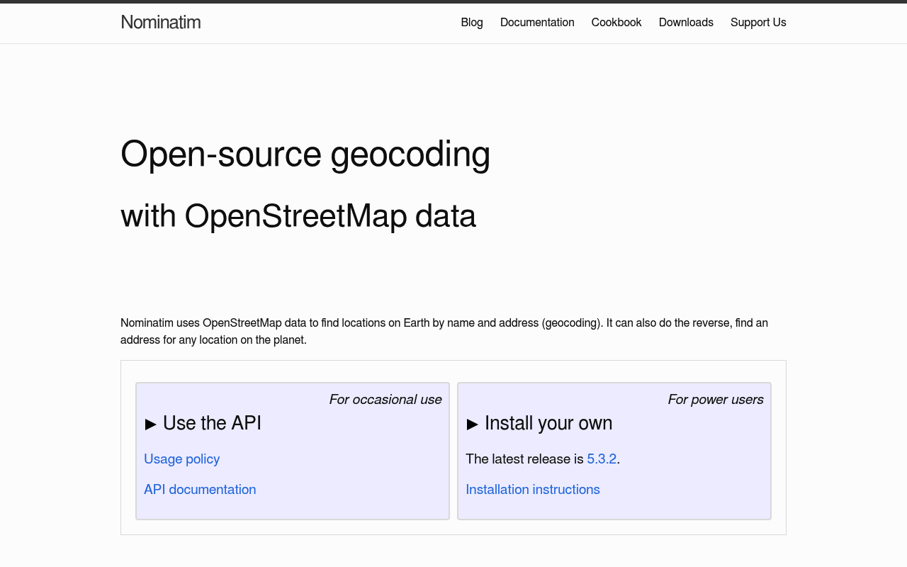
Nominatim is an open-source (BSD-2-Clause) search engine for OpenStreetMap data, supporting forward geocoding (address to coordinates), reverse geocoding (coordinates to address), and address lookup by OSM ID. The OpenStreetMap Foundation runs a free public instance at nominatim.openstreetmap.org under a published usage policy, and the project is also widely self-hosted and resold by commercial providers (MapTiler, LocationIQ, Geocode Earth).
Nominatim publishes 7 API contracts indexed on the APIs.io network, including Deletable API, Details API, Lookup API, and 4 more. Tagged areas include Geocoding, OpenStreetMap, Maps, Location Services, and Open Source.
The Nominatim catalog on APIs.io includes 1 JSON-LD context and 2 Spectral governance rulesets.
Nominatim’s developer surface includes documentation, tooling, engineering blog, and 26 more developer resources.
Kin Score
 Kin Score
How this is scored →
Kin Score
How this is scored →scored 2026-10-17 · rubric v0.24.0
Markets this provider is in provisional
The Kin Score Market layer reads a provider inside its market: its position, and how deep its integrations go. Depth is only comparable within a position. Provisional and unweighted: not part of the Kin Score or agent readiness.
| Market | Position | Depth | Registered MCP server | Declares compatibility |
|---|---|---|---|---|
| Geospatial and Maps (OGC standards) | undeclared | - | - | - |
Registered MCP server and declares compatibility are report only — not weighted. Undeclared means we found nothing we can read, so there is no number: we never infer integrations.
APIs 7
Individual APIs this provider publishes, each with its own machine-readable definition.
Nominatim Deletable API
Objects removed from OpenStreetMap but retained in Nominatim.
Nominatim Details API
Internal place details, intended for debugging.
Nominatim Lookup API
Look up address details for OSM objects by their OSM ID.
Nominatim Polygons API
Problematic polygon data detected by the system.
Nominatim Reverse API
Reverse geocoding — find the closest OSM object to a coordinate.
Nominatim Search API
Forward geocoding — search OSM objects by name or address.
Nominatim Status API
Service and database status reporting.
Scroll for all 7
Open Collections 9
Open, tool-agnostic API collections (OpenAPI-derived and Bruno).
API Collection
OPEN COLLECTIONNominatim Deletable API
OPEN COLLECTIONNominatim Deletable Details API
OPEN COLLECTIONNominatim Deletable Lookup API
OPEN COLLECTIONNominatim Deletable Polygons API
OPEN COLLECTIONNominatim Deletable Reverse API
OPEN COLLECTIONNominatim Deletable Search API
OPEN COLLECTIONNominatim Deletable Status API
OPEN COLLECTIONNominatim API
OPEN COLLECTIONScroll for all 9
Pricing Plans 1
Published pricing tiers and plan structures.
Rate Limits 1
Documented rate limits and quota policies.
Nominatim Rate Limits
RATE LIMITSFeatures 8
Notable capabilities this provider offers.
Forward Geocoding
Convert free-form or structured addresses into coordinates and full place metadata.
Reverse Geocoding
Identify the closest OSM feature to a coordinate at a chosen administrative zoom level.
OSM Object Lookup
Resolve up to 50 OSM nodes/ways/relations to detailed address breakdowns per call.
Multi-Format Output
Returns json, jsonv2, geojson, geocodejson, and xml from a single endpoint via `format`.
Polygon Geometry
Optional geometry output as GeoJSON, KML, SVG, or WKT with a simplification tolerance.
Country And Layer Filtering
Bias or restrict results by ISO country code, viewbox, layer (address/poi/etc.), or feature type.
Service Health
/status endpoint exposes data freshness, software version, and database version for monitoring.
Self-Hostable
Install on your own infrastructure from a planet.osm.pbf import; BSD-2-Clause licensed.
Scroll for all 8
Semantic Vocabularies 1
JSON-LD contexts and semantic vocabularies used across these APIs.
Nominatim Context
JSON-LDSpectral Rules 2
Spectral governance rulesets for linting and validating these APIs.
Nominatim — jsonschema rules
SPECTRALNominatim API Rules
SPECTRALJSON Schema 4
Standalone JSON Schema definitions for this provider's data models.
JSON Structure 3
JSON Structure definitions describing this provider's data shapes.
Nominatim Address Structure
JSON STRUCTURENominatim Place Structure
JSON STRUCTURENominatim Status Structure
JSON STRUCTUREExamples 7
Example request and response payloads for these APIs.
Nominatim Address Example
EXAMPLENominatim Details Example
EXAMPLENominatim Lookup Example
EXAMPLENominatim Place Example
EXAMPLENominatim Reverse Example
EXAMPLENominatim Search Example
EXAMPLENominatim Status Example
EXAMPLEScroll for all 7
Security Posture 1
Authentication, domain security, vulnerability disclosure, and trust-center signals.
Agentic Access 1
Recommended x-agentic-access execution contracts for AI agents.
Use Cases 5
What developers build with this provider.
Map Search Box
Power "find a place" search boxes in OSM-based map applications.
Reverse Geocoding For Telemetry
Attach human-readable addresses to coordinates collected from devices, vehicles, or sensors.
Civic Tech And Open Data
Provide geocoding for public-interest tools where commercial pricing is a barrier.
Background Address Normalisation
When self-hosted, normalize address strings in pipelines without per-call costs.
AI Agents With Map Tools
Ground LLM agents in real-world places via an MCP server backed by Nominatim.
Integrations 8
Pre-built integrations with other platforms and tools.
geopy
Python geocoding library shipping a built-in Nominatim adapter.
GeoDjango
Django GIS framework with Nominatim geocoder support.
Leaflet Control Geocoder
Leaflet plugin offering a Nominatim geocoder out of the box.
OpenLayers
Web mapping library frequently paired with Nominatim for search.
QGIS MMQGIS
Desktop GIS plugin that batch-geocodes via Nominatim.
MapTiler Cloud Geocoding
Commercial hosted Nominatim-style API from MapTiler.
LocationIQ
Commercial Nominatim-compatible geocoding/routing platform.
Geocode Earth
Commercial Pelias deployment (Nominatim-compatible workloads).
Scroll for all 8
Solutions 3
Packaged solutions this provider offers.
OSMF Public Instance
Free hosted Nominatim under the OSMF Usage Policy (1 req/sec ceiling).
Self-Hosted Nominatim
BSD-2-Clause stack you import a planet dump into; no upstream rate limits.
Commercial Hosted Nominatim
Paid hosted offerings from MapTiler, LocationIQ, Geocode Earth and others.
Resources
Documentation 2
Reference material describing how the API behaves
Agent Surfaces 1
MCP servers, agent skills, and machine-readable catalogs
Design & Contract 2
Pagination, idempotency, versioning, errors, and events
Build 14
SDKs, sample code, and the tooling you integrate with
Scroll for all 14
Access & Security 2
Authentication, authorization, and security posture
Operate 3
Status, limits, changes, and where to get help
Commercial 3
Pricing, plans, and the legal terms of use
Company 2
The organization behind the API
Source (apis.yml)
Work with this as data
Every provider here is available over the APIs.io API and to AI agents over MCP.