N2YO
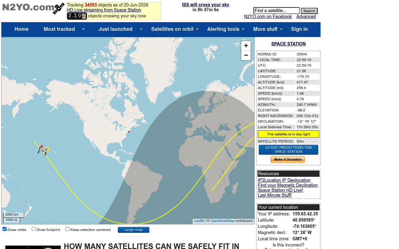
N2YO.com is a website that provides real-time tracking and information about satellites and space stations using space surveillance data from Space Track, operated by the US Air Force Space Command.
N2YO publishes 5 API contracts indexed on the APIs.io network, including Above API, Positions API, Radio Passes API, and 2 more. Tagged areas include Satellite, Space, Tracking, and Satellite Tracking.
N2YO’s developer surface includes authentication, signup flow, and 11 more developer resources.
Kin Score
 Kin Score
How this is scored →
Kin Score
How this is scored →scored 2026-10-23 · rubric v0.25.0
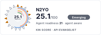 It updates itself when the score changes. Paste this where you link to your API docs:
<a href="https://apis.io/providers/n2yo/"><img src="https://apis.io/badge/n2yo/card.svg" alt="N2YO on APIs.io — Kin Score by API Evangelist"></a>Other styles, a README pill and a shields.io endpoint are on the badge page.
Markets this provider is in provisional
The Kin Score Market layer reads a provider inside its market: its position, and how deep its integrations go. Depth is only comparable within a position. Provisional and unweighted: not part of the Kin Score or agent readiness.
| Market | Position | Depth | Registered MCP server | Declares compatibility |
|---|---|---|---|---|
| Space and Satellite (operators, earth observation, ground segment) | undeclared | - | - | - |
Registered MCP server and declares compatibility are report only — not weighted. Undeclared means we found nothing we can read, so there is no number: we never infer integrations.
APIs 5
Individual APIs this provider publishes, each with its own machine-readable definition.
N2YO Above API
Satellites currently above an observer location.
N2YO Positions API
Future satellite positions over an observer location.
N2YO Radio Passes API
Radio-communication satellite pass predictions.
N2YO TLE API
Two-Line Element data for satellites.
N2YO Visual Passes API
Optically visible satellite pass predictions.
Open Collections 6
Open, tool-agnostic API collections (OpenAPI-derived and Bruno).
N2YO Satellite Tracking Above API
OPEN COLLECTIONN2YO Satellite Tracking Above Positions API
OPEN COLLECTIONN2YO Satellite Tracking Above Radio Passes API
OPEN COLLECTIONN2YO Satellite Tracking Above TLE API
OPEN COLLECTIONN2YO Satellite Tracking Above Visual Passes API
OPEN COLLECTIONN2YO Satellite Tracking API
OPEN COLLECTIONPricing Plans 1
Published pricing tiers and plan structures.
N2Yo Plans Pricing
PLANSRate Limits 1
Documented rate limits and quota policies.
N2Yo Rate Limits
RATE LIMITSFinOps 1
Cost, billing, and metering signals for API financial operations.
N2Yo Finops
FINOPSSecurity Posture 2
Authentication, domain security, vulnerability disclosure, and trust-center signals.
Agentic Access 1
Recommended x-agentic-access execution contracts for AI agents.
Resources
Get Started 2
Portal, sign-up, and the first successful call
Agent Surfaces 1
MCP servers, agent skills, and machine-readable catalogs
Build 1
SDKs, sample code, and the tooling you integrate with
Access & Security 2
Authentication, authorization, and security posture
Operate 2
Status, limits, changes, and where to get help
Commercial 4
Pricing, plans, and the legal terms of use
Company 1
The organization behind the API
Source (apis.yml)
Work with this as data
Every provider here is available over the APIs.io API and to AI agents over MCP.