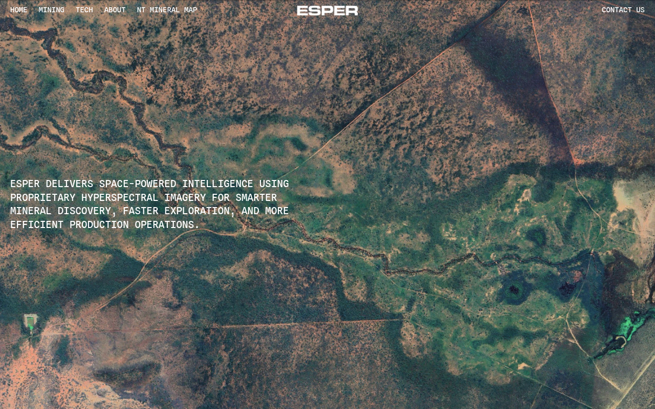
Esper Satellite Imagery
Esper Satellite Imagery is an Australian space-technology company building an 18-satellite hyperspectral Earth-observation constellation (the Over The Rainbow / OTR program) to deliver global chemical-composition data of the planet's surface from orbit. Its Esperesso hyperspectral imagers capture more than 100 contiguous spectral bands spanning roughly 400 to 1000 nm, which Esper turns into mineralisation maps that identify lithium, rare earths, gold, nickel, cobalt and alteration zones for critical-mineral exploration — faster, cheaper and greener than traditional ground surveys. Founded in 2021 in Melbourne, Victoria by Iqbal and Joey Lorenczak, Esper sells custom area-of-interest mineral maps and a pre-built Northern Territory mineral map. It does not currently publish a public developer API; this profile captures the company's public web, security and code-repository surface.
Esper Satellite Imagery is profiled on the APIs.io network. Tagged areas include Company, Satellite Imagery, Hyperspectral, Earth Observation, and Remote Sensing.
Esper Satellite Imagery’s developer surface includes support, engineering blog, and 4 more developer resources.
Kin Score
 Kin Score
How this is scored →
Kin Score
How this is scored →scored 2026-10-17 · rubric v0.24.0
Security Posture 1
Authentication, domain security, vulnerability disclosure, and trust-center signals.
Resources
Build 1
SDKs, sample code, and the tooling you integrate with
Access & Security 1
Authentication, authorization, and security posture
Operate 1
Status, limits, changes, and where to get help
Commercial 1
Pricing, plans, and the legal terms of use
Company 2
The organization behind the API
Source (apis.yml)
Work with this as data
Every provider here is available over the APIs.io API and to AI agents over MCP.