Airbus
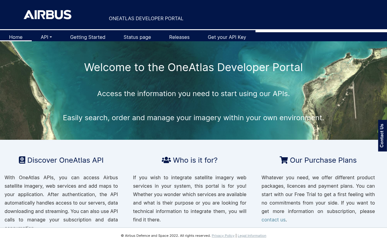
A European multinational aerospace corporation designing, manufacturing, and selling commercial aircraft, helicopters, defense, and space products. Through its Space Solutions / OneAtlas division Airbus publishes a developer API portal for satellite imagery, mapping, and elevation data.
Airbus publishes 7 API contracts indexed on the APIs.io network, including Authentication API, Catalog API, and 5 more. Tagged areas include Aerospace, Defense, Manufacturing, Aviation, and Earth Observation.
Airbus’ developer surface includes authentication, developer portal, and 12 more developer resources.
Kin Score
 Kin Score
How this is scored →
Kin Score
How this is scored →scored 2026-10-17 · rubric v0.24.0
APIs 7
Individual APIs this provider publishes, each with its own machine-readable definition.
OneAtlas Living Library API
Subscription-based catalogue access to Airbus Living Library Pléiades, Pléiades Neo, and SPOT optical imagery for AOI search, preview, and streaming.
OneAtlas Pay-Per-Order Archives API
On-demand purchase of historical archive imagery from Airbus optical and radar constellations on a pay-per-order basis.
OneAtlas Pay-Per-Order Tasking API
On-demand satellite tasking for new imagery acquisitions over a user-defined area of interest, with priority and acquisition-window options.
OneAtlas Basemap API
Global high-resolution basemap tile service derived from Airbus optical imagery, suitable for embedding in GIS and web mapping applications.
OneAtlas Radar & Elevation API
Access to Airbus radar (SAR) imagery and elevation products including WorldDEM, suitable for change detection, surveillance, and terrain analysis.
Airbus Authentication API
The Authentication API from Airbus — 1 operation(s) for authentication.
Airbus Catalog API
The Catalog API from Airbus — 1 operation(s) for catalog.
Scroll for all 7
Open Collections 4
Open, tool-agnostic API collections (OpenAPI-derived and Bruno).
API Collection
OPEN COLLECTIONAirbus OneAtlas API () Authentication API
OPEN COLLECTIONAirbus OneAtlas API () Authentication Catalog API
OPEN COLLECTIONAirbus OneAtlas API (Authentication)
OPEN COLLECTIONPricing Plans 1
Published pricing tiers and plan structures.
Airbus Plans Pricing
PLANSRate Limits 1
Documented rate limits and quota policies.
Airbus Rate Limits
RATE LIMITSFinOps 1
Cost, billing, and metering signals for API financial operations.
Airbus Finops
FINOPSFeatures 6
Notable capabilities this provider offers.
Optical Imagery
Access to Pléiades, Pléiades Neo, and SPOT optical imagery via the Living Library catalogue and archive ordering.
Radar Imagery
SAR imagery from the TerraSAR-X / TanDEM-X constellation and from the new Radar Constellation.
Satellite Tasking
Pay-per-order tasking for new imagery acquisitions over a user-defined AOI.
Elevation Products
Global elevation models including WorldDEM derived from Airbus radar interferometry.
Basemap Tile Service
High-resolution global basemap tile service for embedding in GIS and web maps.
API Key + OAuth 2.0
Authentication via per-user API key issued by the OneAtlas account portal with OAuth 2.0 access-token exchange.
Security Posture 3
Authentication, domain security, vulnerability disclosure, and trust-center signals.
Agentic Access 1
Recommended x-agentic-access execution contracts for AI agents.
Use Cases 5
What developers build with this provider.
Land-Use / Land-Cover Monitoring
Periodic optical imagery used to monitor land-use change, deforestation, agriculture, and urban expansion.
Defense & Intelligence
Tasking and archive ordering of high-resolution optical and SAR imagery for defense and intelligence customers.
Infrastructure Monitoring
Repeat radar acquisitions for monitoring pipelines, dams, mines, and other linear infrastructure.
GIS Basemaps
Embedding the OneAtlas basemap into GIS workflows and web-mapping products.
Disaster Response
Rapid tasking and archive ordering after natural disasters to support response and recovery.
Integrations 4
Pre-built integrations with other platforms and tools.
ArcGIS
Esri ArcGIS integrations for streaming Airbus basemaps and imagery into the ArcGIS platform.
QGIS
QGIS plugins for connecting to Airbus tile and WMS / WMTS services.
AWS
Airbus distributes selected imagery products through AWS Marketplace and Earth on AWS.
Skywise
Aviation-data platform powered by Airbus and Palantir, exposed to airline operators via separate enterprise integration.
Resources
Get Started 1
Portal, sign-up, and the first successful call
Agent Surfaces 1
MCP servers, agent skills, and machine-readable catalogs
Build 1
SDKs, sample code, and the tooling you integrate with
Access & Security 5
Authentication, authorization, and security posture
Operate 2
Status, limits, changes, and where to get help
Commercial 2
Pricing, plans, and the legal terms of use
Company 3
The organization behind the API
Other 1
Properties that don't map to a standard resource type
Source (apis.yml)
Work with this as data
Every provider here is available over the APIs.io API and to AI agents over MCP.