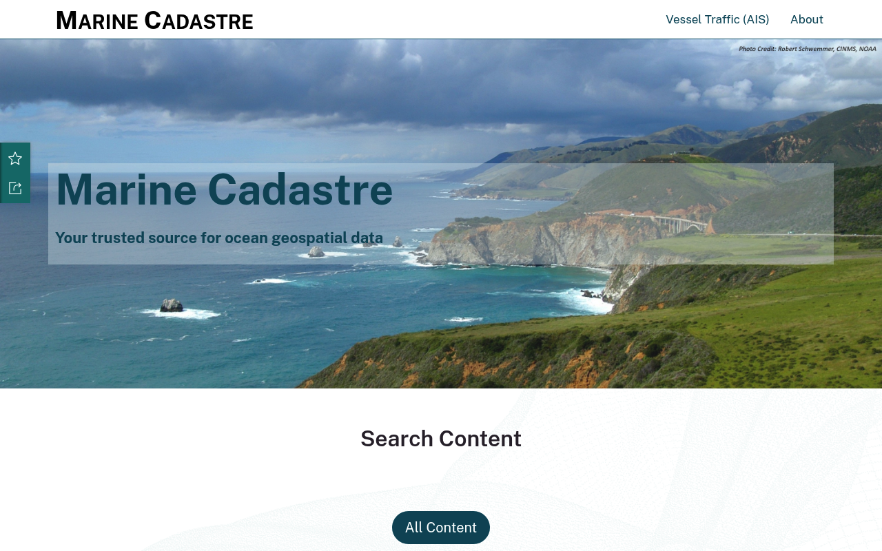
Bureau of Ocean Energy Management website screenshot

Bureau of Ocean Energy Management

The Bureau of Ocean Energy Management (BOEM) manages the nation's offshore resources in an environmentally and economically responsible way. BOEM oversees the responsible development of U.S. Outer Continental Shelf energy and mineral resources while protecting the environment and conserving natural resources.

3 APIs 0 Features
EnergyFederal GovernmentMarineOceansGISOffshoreEnvironmental

APIs

MarineCadastre.gov

MarineCadastre.gov is the authoritative source for marine cadastre data and services. It provides an interactive map viewer with integrated submerged lands information including...

BOEM ArcGIS REST Services

BOEM provides ArcGIS REST Services exposing geospatial data for the Outer Continental Shelf (OCS) regions. Data includes active leases, offshore block grids, boundaries, wells, ...

Environmental Studies Program Information System (ESPIS)

ESPIS provides access to BOEM's environmental studies data, including research reports, environmental impact studies, and scientific literature related to offshore energy develo...

Pricing Plans

Rate Limits

FinOps

Resources

🔗
LinkedIn
LinkedIn
🔗
Website
Website
🌐
Portal
Portal
📜
PrivacyPolicy
PrivacyPolicy
🔗
Mapping and Data
Mapping and Data
🌐
Data Portal
Data Portal

Sources

apis.yml Raw ↑
aid: bureau-of-ocean-energy-management
url: https://raw.githubusercontent.com/api-evangelist/bureau-of-ocean-energy-management/refs/heads/main/apis.yml
name: Bureau of Ocean Energy Management
tags:
- Energy
- Federal Government
- Marine
- Oceans
- GIS
- Offshore
- Environmental
type: Index
kind: government
image: https://kinlane-images.s3.amazonaws.com/shared/apis-json/apis-json-logo.jpg
access: 3rd-Party
created: '2024-11-30'
modified: '2026-04-23'
position: Consumer
description: The Bureau of Ocean Energy Management (BOEM) manages the nation's offshore resources in an environmentally and
  economically responsible way. BOEM oversees the responsible development of U.S. Outer Continental Shelf energy and mineral
  resources while protecting the environment and conserving natural resources.
apis:
- aid: bureau-of-ocean-energy-management:marine-cadastre
  name: MarineCadastre.gov
  tags:
  - Federal Government
  - Marine
  - GIS
  - Oceans
  humanURL: https://marinecadastre.gov/
  baseURL: https://hub.marinecadastre.gov/
  properties:
  - url: https://hub.marinecadastre.gov/
    type: Portal
  - url: https://marinecadastre.gov/oceanreports
    type: Tools
  description: MarineCadastre.gov is the authoritative source for marine cadastre data and services. It provides an interactive
    map viewer with integrated submerged lands information including legal, property ownership (cadastre), physical, biological,
    ocean uses, and cultural information. Includes Web Map Services (WMS) for GIS integration and downloadable data layers.
  features:
  - Web Map Services (WMS)
  - Interactive Map Viewer
  - OceanReports Analysis Tool
  - AIS Vessel Traffic Data
  - Downloadable Geospatial Layers
  - Legal and Cadastral Data
  useCases:
  - Offshore energy project planning
  - Marine spatial planning
  - Environmental impact assessment
  - Coastal and ocean use analysis
- aid: bureau-of-ocean-energy-management:boem-arcgis-rest-services
  name: BOEM ArcGIS REST Services
  tags:
  - Federal Government
  - GIS
  - Oceans
  - Offshore
  humanURL: https://www.boem.gov/oil-gas-energy/mapping-and-data
  baseURL: https://gis.boem.gov/arcgis/rest/services/
  properties:
  - url: https://www.boem.gov/oil-gas-energy/mapping-and-data
    type: Documentation
  - url: https://catalog.data.gov/dataset?organization=boem-gov
    type: DataAPI
  description: BOEM provides ArcGIS REST Services exposing geospatial data for the Outer Continental Shelf (OCS) regions.
    Data includes active leases, offshore block grids, boundaries, wells, and pipelines for Atlantic, Gulf of Mexico, Pacific,
    and Alaska regions.
  features:
  - Active Lease Boundaries
  - Offshore Block Grids
  - Pipeline Data
  - Well Locations
  - OCS Planning Areas
  - Regional Shapefiles
  useCases:
  - Offshore drilling planning
  - Lease management
  - Environmental review
  - Marine infrastructure mapping
- aid: bureau-of-ocean-energy-management:espis
  name: Environmental Studies Program Information System (ESPIS)
  tags:
  - Federal Government
  - Environmental
  - Marine
  humanURL: https://esp-boem.hub.arcgis.com/
  properties:
  - url: https://esp-boem.hub.arcgis.com/
    type: Portal
  description: ESPIS provides access to BOEM's environmental studies data, including research reports, environmental impact
    studies, and scientific literature related to offshore energy development. Searchable by topic, location, and year.
  features:
  - Environmental Studies Database
  - Research Reports
  - Scientific Literature
  - Geographic Search
  useCases:
  - Environmental impact research
  - Offshore energy regulation compliance
  - Academic marine research
  - Policy development
common:
- type: LinkedIn
  url: https://www.linkedin.com/company/boemgov
- type: Website
  url: https://www.boem.gov
- type: Portal
  url: https://marinecadastre.gov/
- type: PrivacyPolicy
  url: https://www.boem.gov/privacy-policy
- type: Mapping and Data
  url: https://www.boem.gov/oil-gas-energy/mapping-and-data
- type: Data Portal
  url: https://catalog.data.gov/dataset?organization=boem-gov
maintainers:
- FN: Kin Lane
  email: kin@apievangelist.com
specificationVersion: '0.19'
