Wikimapia
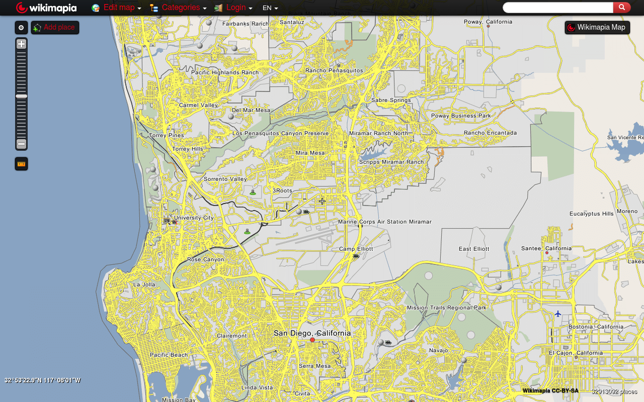
Wikimapia is a collaborative geographic wiki that layers crowdsourced place information onto satellite imagery. Launched in 2006, the platform covers over 32 million geographic objects contributed by its community. The REST API provides programmatic access to places, categories, streets, and geographic searches using API-key authentication. Responses are available in JSON and KML formats. The API supports bounding-box queries, coordinate-based nearest-place lookups, full-text search, and detailed place retrieval including geometry, photos, comments, and community-tagged categories.
Wikimapia is listed with 1 API on the APIs.io network. Tagged areas include Geospatial, Mapping, Crowdsourced, Places, and Geographic Data.
Wikimapia’s developer surface includes documentation, engineering blog, pricing, and 7 more developer resources.
Kin Score
 Kin Score
How this is scored →
Kin Score
How this is scored →scored 2026-10-23 · rubric v0.25.0
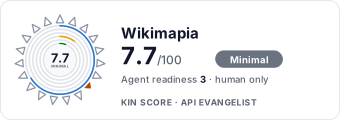 It updates itself when the score changes. Paste this where you link to your API docs:
<a href="https://apis.io/providers/wikimapia/"><img src="https://apis.io/badge/wikimapia/card.svg" alt="Wikimapia on APIs.io — Kin Score by API Evangelist"></a>Other styles, a README pill and a shields.io endpoint are on the badge page.
Markets this provider is in provisional
The Kin Score Market layer reads a provider inside its market: its position, and how deep its integrations go. Depth is only comparable within a position. Provisional and unweighted: not part of the Kin Score or agent readiness.
| Market | Position | Depth | Registered MCP server | Declares compatibility |
|---|---|---|---|---|
| Overture Maps Foundation (members + data contributors) | undeclared | - | - | - |
Registered MCP server and declares compatibility are report only — not weighted. Undeclared means we found nothing we can read, so there is no number: we never infer integrations.
APIs 1
Individual APIs this provider publishes, each with its own machine-readable definition.
Wikimapia REST API
The Wikimapia REST API provides access to crowdsourced geographic data including places, categories, streets, and languages. Supports place search by bounding box, coordinates, ...
Pricing Plans 1
Published pricing tiers and plan structures.
Rate Limits 1
Documented rate limits and quota policies.
Wikimapia Rate Limits
RATE LIMITSFinOps 1
Cost, billing, and metering signals for API financial operations.
Wikimapia Finops
FINOPSSecurity Posture 1
Authentication, domain security, vulnerability disclosure, and trust-center signals.
Resources
Documentation 1
Reference material describing how the API behaves
Build 1
SDKs, sample code, and the tooling you integrate with
Access & Security 1
Authentication, authorization, and security posture
Operate 1
Status, limits, changes, and where to get help
Commercial 3
Pricing, plans, and the legal terms of use
Company 2
The organization behind the API
Other 1
Properties that don't map to a standard resource type
Source (apis.yml)
Work with this as data
Every provider here is available over the APIs.io API and to AI agents over MCP.